

Today we are covering about twenty miles of land to the north of Topsail Island NC. Immediately north is Camp Lejeune and the Marine Corps Air Station - occupying about ten miles of coastline.

It is a sizeable piece of property - here are some of the barracks of the air station.

Just north of here we encounter the town of Cedar Point.
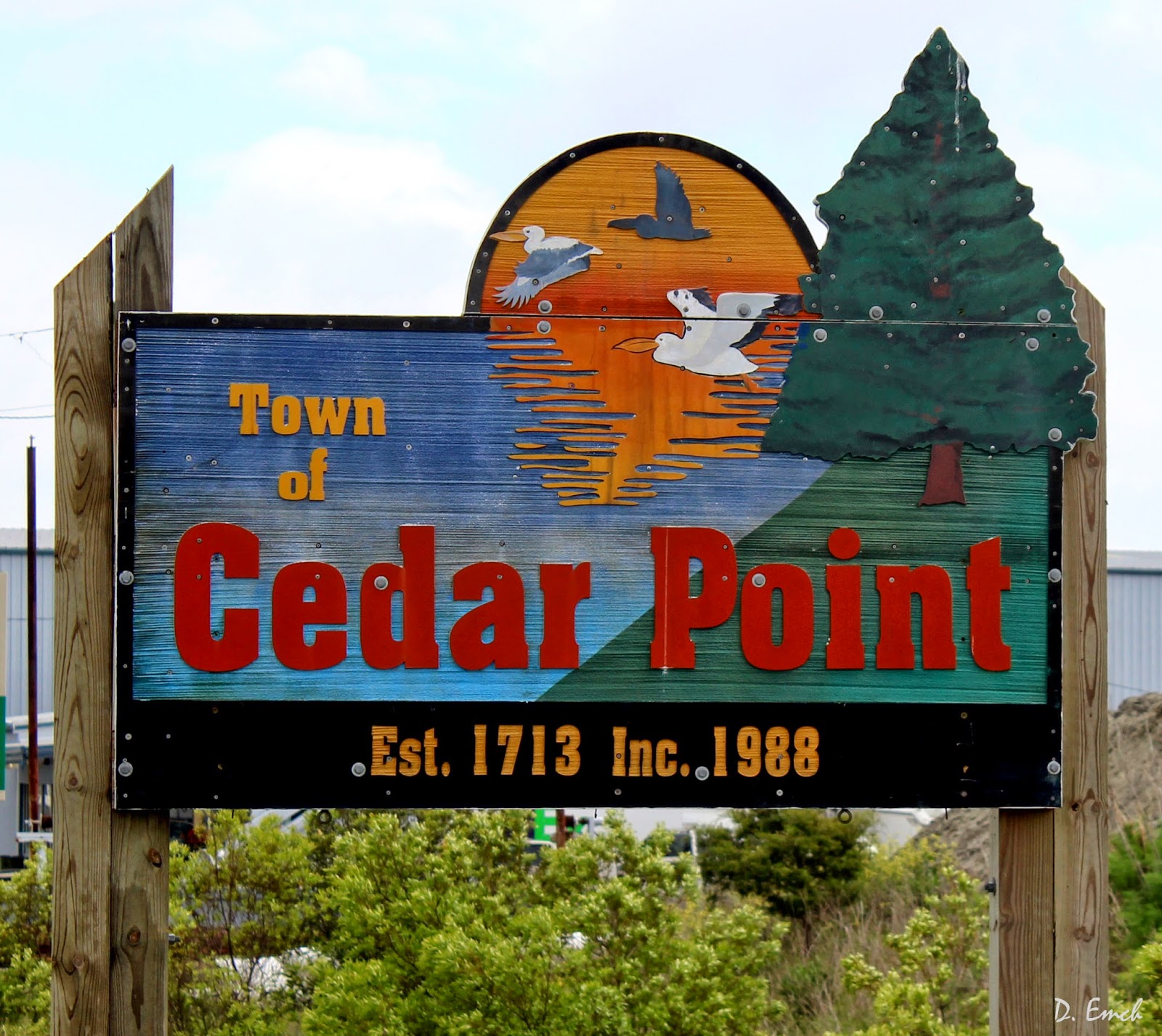
This is an old river town, home to about 1500 folks. The 2000 acres that comprise the town was originally a king's grant to a William Hill, and today is primarily a fishing village.
Here is a structure that was built in 1824 which serves as an antique shop today.


Right now there are quite a few acres of wildflowers around town - I am not sure if they are a crop or are just growing wild.

We are quickly through Cedar Point and heading out to Bogue Bank, the southernmost of North Carolina's Outer Banks.

We are back on one of the cuts of the eastern seaboard where the coast is actually east - west. When you look at the Atlantic Ocean here, you are facing south. Coming across the bridge you can see the end of the island on the left.

If you look close at this next photo you can see how narrow it is. Surprisingly though it has a bit of elevation - many spots look to be twenty to thirty feet high.

Maybe a half mile or so at its widest, it runs over twenty miles along the coast.

Dense foliage consisting of oak scrub, various pine trees, vines and brambles cover the island.


I always enjoy the trees that have been shaped by so many years of winds off of the oceans. They look like they are in a gale even when there is no wind blowing.

The western - (furthest "south" on our journey) end is accreting sand - there is a large area of dunes that are just starting to establish some plant life.

This was the last day you were allowed to drive your vehicle on the beaches.

A lot of the buildings are from the sixties and seventies - this hotel, closed now, was supposed to look like a paddle boat.

This next one, built in 1963, hangs right out on the dunes overlooking the ocean.

There are quite a few newer homes as well.

The dunes are high enough that many on the second and third rows can be built high enough to still have an ocean view.

One thing I enjoy on these islands is that about a third of the folks make a sign to hang on the house giving it a name. Many are plays on words . .


Some tell you where the people are from . .

Some tell you the conditions under which the people bought the place.

Sometimes you can't tell if it is the folk's name or a description of themselves . .

Lot of chairmen out here . . .

. . . maybe this is where the last guy was chairman.

And this guys sign - being surrounded with cheery signs it stood out in stark contrast.

There are a lot of mobile home parks on the island. The same park will run from the ocean to the bay behind the island.

Not a bad location on either end.

There are a few condominium projects, but none of the high rise types.

I liked this flower bed . . .

. . and the kayak racks always add a splash of color.

Tomorrow we will look at the history of this bank, along with the second of three NC aquariums.
Today's face in the crowd - another of those signs this one on the back side of an island on a section of tidal estuary.

And today's parting shot - taken in a souvenir shop in Emerald Isle -

Click Here if you can contribute a few dollars to help me along the way, and Click Here to email me.
Have an awesome day !!
David
No comments:
Post a Comment